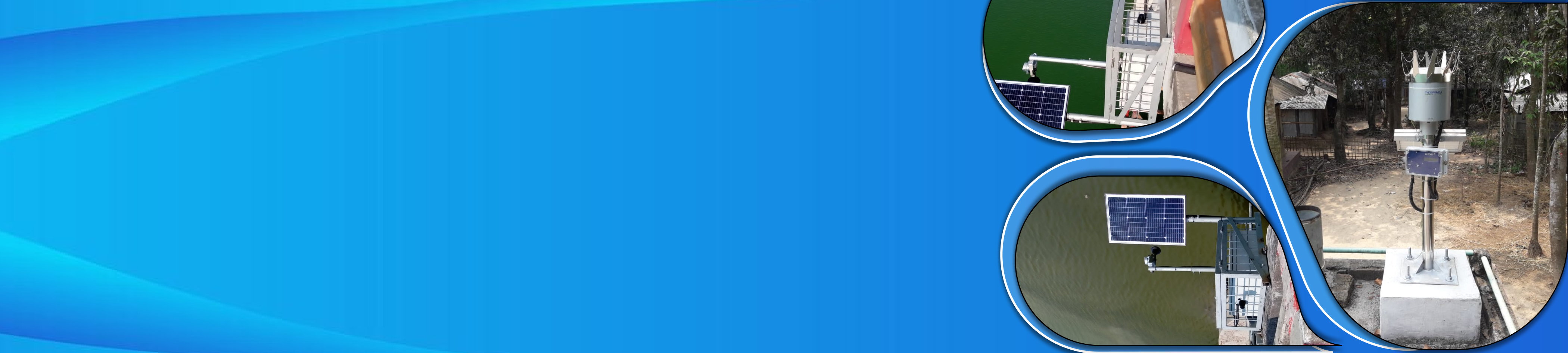
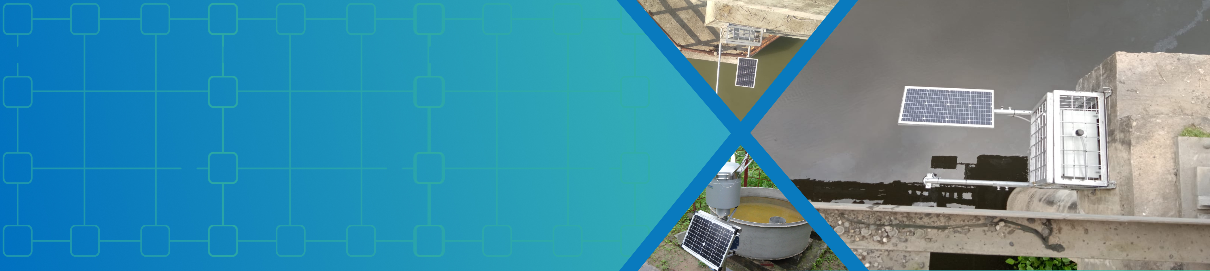
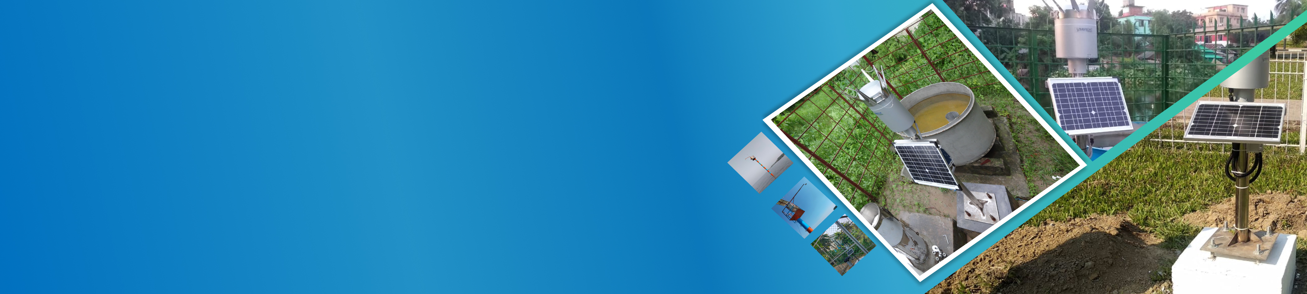
About UsHydroinformatics and flood forecasting circle analyzes hydrological and hydrogeological data for quality control and flood forecasting, providing timely warnings to relevant authorities and the media. It publishes monthly flood and groundwater reports, coordinates with agencies on studies and research, and develops technologies for integrated water use. |
Important Links |
Contact Us
Hydroinformatics and Flood Forecasting Circle,
Bangladesh Water Development Board,
72-Green Road, Dhaka-1215, Bangladesh. |
|
Hydroinformatics and Flood Forecasting Circle
পানি বিজ্ঞান তথ্য ও বন্যা পূর্বাভাস সার্কেল
Chief Engineer Hydrology
Bangladesh Water Development Board
পানি বিজ্ঞান তথ্য ও বন্যা পূর্বাভাস সার্কেল
Chief Engineer Hydrology
Bangladesh Water Development Board
Journals
| SL No | Journal Name | Office Name | Content Type | Download |
|---|---|---|---|---|
| 2 | FFWC Mobile App Installation Manual (eHIMS) | Hydroinformatics and Floos Forecasting Circle (PFFC) | Software Manual | |
| 3 | Weekly Ground Water Data Availability 2017&2018 | Hydroinformatics and Floos Forecasting Circle (PFFC) | ADP Report | |
| 4 | Ground Water Table Hydrograph of 38 districts for the year 2008 to 2018 | Hydroinformatics and Floos Forecasting Circle (PFFC) | Annual Report | |
| 5 | Weekly Ground Water Data Availability 2017 | Hydroinformatics and Floos Forecasting Circle (PFFC) | Research | |
| 7 | List of BWDB Water Level Gauge Station MSL Information | Hydroinformatics and Floos Forecasting Circle (PFFC) | Hydrology Water Level | |
| 11 | SUMMARY OF RAINFALL IN BANGLADESH FOR THE YEARS 2019 & 2020. | Surface Water Processing Branch (SWPB) | Annual Report | |
| 12 | Trend of Water Level of major River in Bangladesh during the last six year (2014 to 2019). | Surface Water Processing Branch (SWPB) | ADP Report | |
| 15 | Yearly Rotation of River Morphology Survey List | River Morphology Processing Branch (RMPB) | River Morphology Rotation List | |
| 16 | Changes of Ground Water Quality in Dinajpur, Pabna and Jessore for 2002 and 2012 to 2016. | Ground Water Processing Branch (GWPB) | Annual Report | |
| 20 | North Eastern Measurement Surface Water Division Data Availability (2020-2021) Report. | Surface Water Hydrology Circle | Annual Report | |
| 22 | Groundwater Quality Assessment of the Multi-layered Aquifer System of Bangladesh Down to the Depth of 335 Meters | Directorate of Ground Water Hydrology | Annual Report |
Copyright © All Rights Reserved by BWDB
Designed By
