About UsHydroinformatics and flood forecasting circle analyzes hydrological and hydrogeological data for quality control and flood forecasting, providing timely warnings to relevant authorities and the media. It publishes monthly flood and groundwater reports, coordinates with agencies on studies and research, and develops technologies for integrated water use. |
Important Links |
Contact Us
Hydroinformatics and Flood Forecasting Circle, BWDB |
|


Hydroinformatics and Flood Forecasting Circle
পানি বিজ্ঞান তথ্য ও বন্যা পূর্বাভাস সার্কেল
Bangladesh Water Development Board
পানি বিজ্ঞান তথ্য ও বন্যা পূর্বাভাস সার্কেল
Bangladesh Water Development Board
Surface Water, Hydrology
Major Activities of Surface Water Hydrology
- Supervision and technical guidance to the quality control of hydrological and climatological data collection, including preliminary processing of data.
- Collect, standardization and improvement of surface water hydrological data (river stage, discharge, rainfall, sediment load, salinity, evaporation, temperature, sunshine hour etc.).
- Supervision and technical guidance to all field surface water hydrologic data collection network and ensure quality control.
- Supervise surface water hydrology benchmark survey, evaluation and other studies required by the country.
- Supervise timely transmission of flood related data to the Flood Forecasting and Warning Center.
- Co-ordinate with other offices and agencies on hydrological and climatological study, research, data management etc.
- Supervise capacity building in surface water hydrology.
- Take necessary steps for implementation of projects, etc.
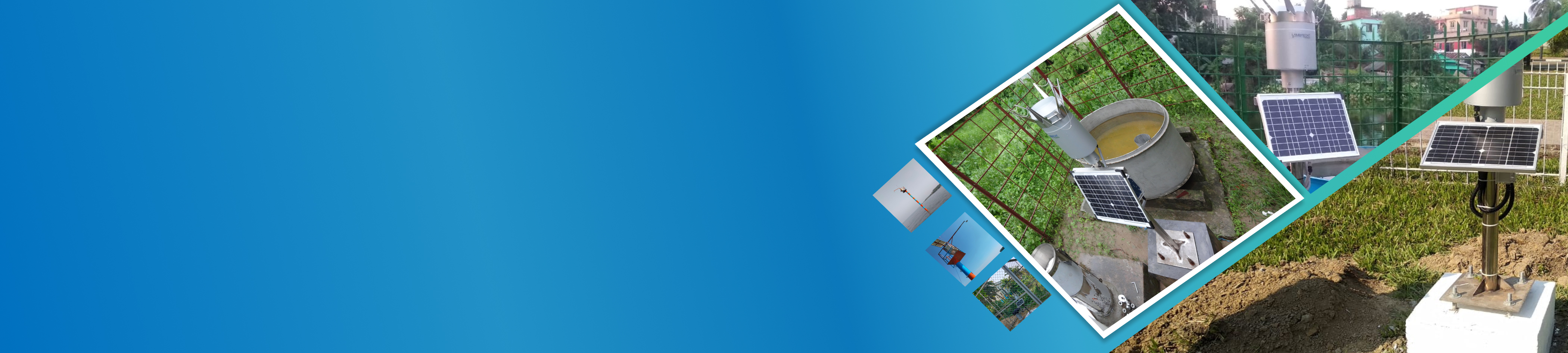
Data collection network includes about 215 and 128 nos. Non-tidal and Tidal water level stations respectively, 110 and 7 nos. Non-tidal and Tidal discharge measurement stations respectively, about 100 surface water salinity and 26 sediment load measurement points allover the country. Network also includes 269, 3 and 39 nos. rainfall, climatology and evaporation recording stations.
Copyright © All Rights Reserved by BWDB
Designed By
